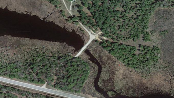

McDonald Lake & Lake Level Control Structure
Located one mile east of Gulliver Lake, McDonald Lake is a 1,440-acre lake with a max depth of 10 feet. The legal summer lake level is 608.65 feet NAVD88 and the winter level is 608.23 feet NAVD88. The special assessment district boundaries were established on October 28, 2024.
McDonald Lake's Lake Level Control Structure (LLCS)
Located on the southeast side of the lake, the McDonald Lake LLCS is a 120-foot structure across Bulldog Creek.

McDonald Lake Special Assessment District Boundaries
-
Special assessment district boundaries established on October 28, 2024
-
Special assessment district boundaries include:
104 +/- direct access parcels
10 +/- direct access on creek parcels
3 +/- indirect access parcels
117 +/- total assessable parcels
Schoolcraft County & Doyle & Mueller Townships
Michigan Department of Natural Resources
-
Assessments levied when costs are incurred to maintain the legal lake level
Part 307 Assessment Process
Develop Assessment Roll and Computation of Costs
1
Public Hearing Regarding Assessments
2
County Board Approval of Assessment Roll and Computation of Costs
3
Financing
4
Assessments On Winter Tax Bill
5
McDonald Lake Level Authority Board
-
Craig Reiter, Chair, District 1 Commissioner
-
James Nelson, Doyle Township Supervisor
-
Sam Pfeifer, Mueller Township Supervisor
-
Kenton Vaughn, Property Owner Representative
-
Marion Enstron, Property Owner Representative

